-Paddle Okefenokee Swamp-
-The BEST Okefenokee INFORMATION on the Web!-
This site is best-
-viewed on a COMPUTER-
-or TABLET in landscape.-
Home
Info
Map
CAMPSITES
Paddling Trails
Boat Ramps
Wildlife
HELP?
More
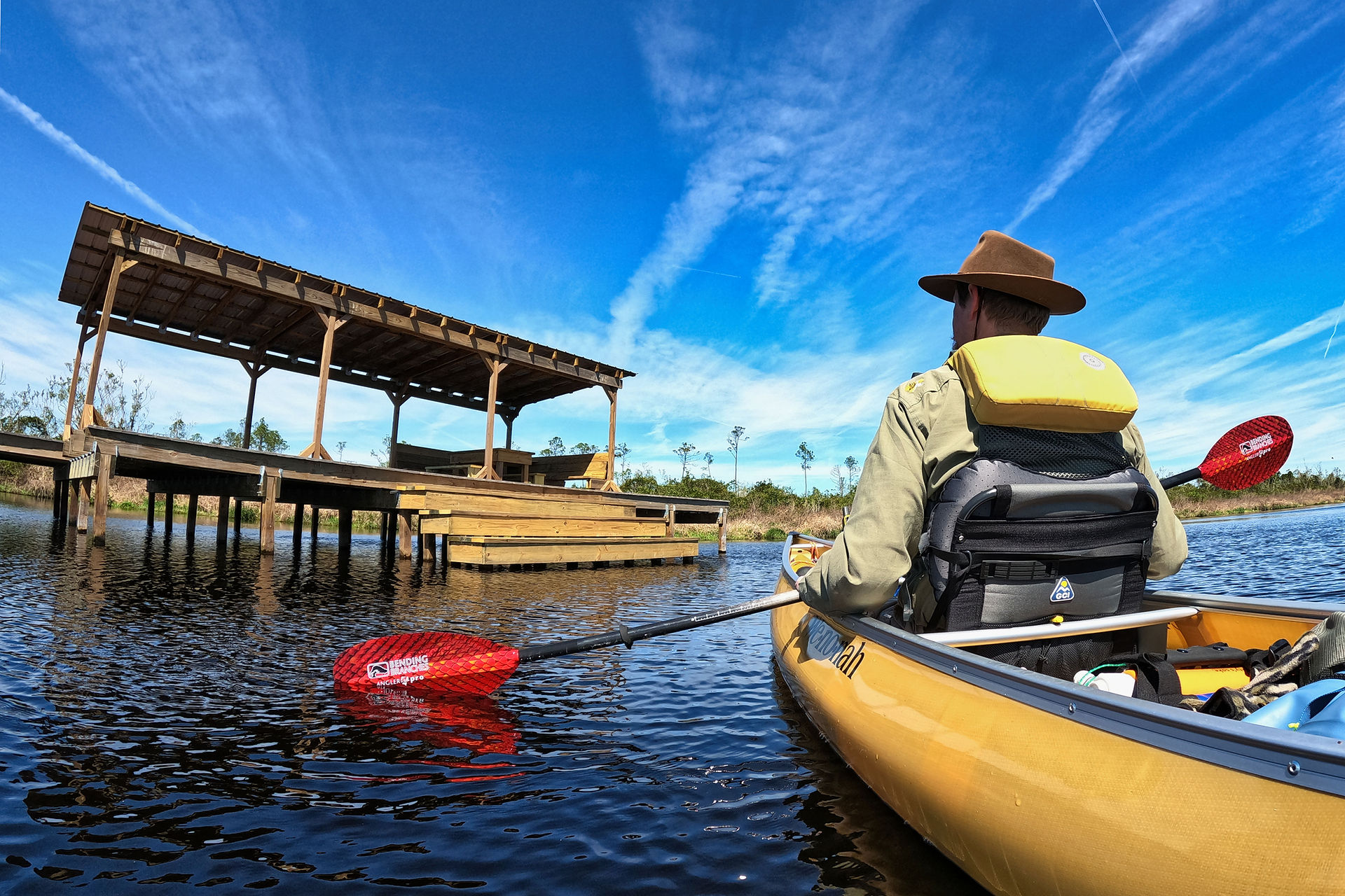
Pictured: the new Buzzards Roost-
-camp in early Spring.-
UPDATES on-
-low water levels-